Property Maps in Real Estate/Property Management
New property map options are available. Are they custom hand drawn? Let’s look.
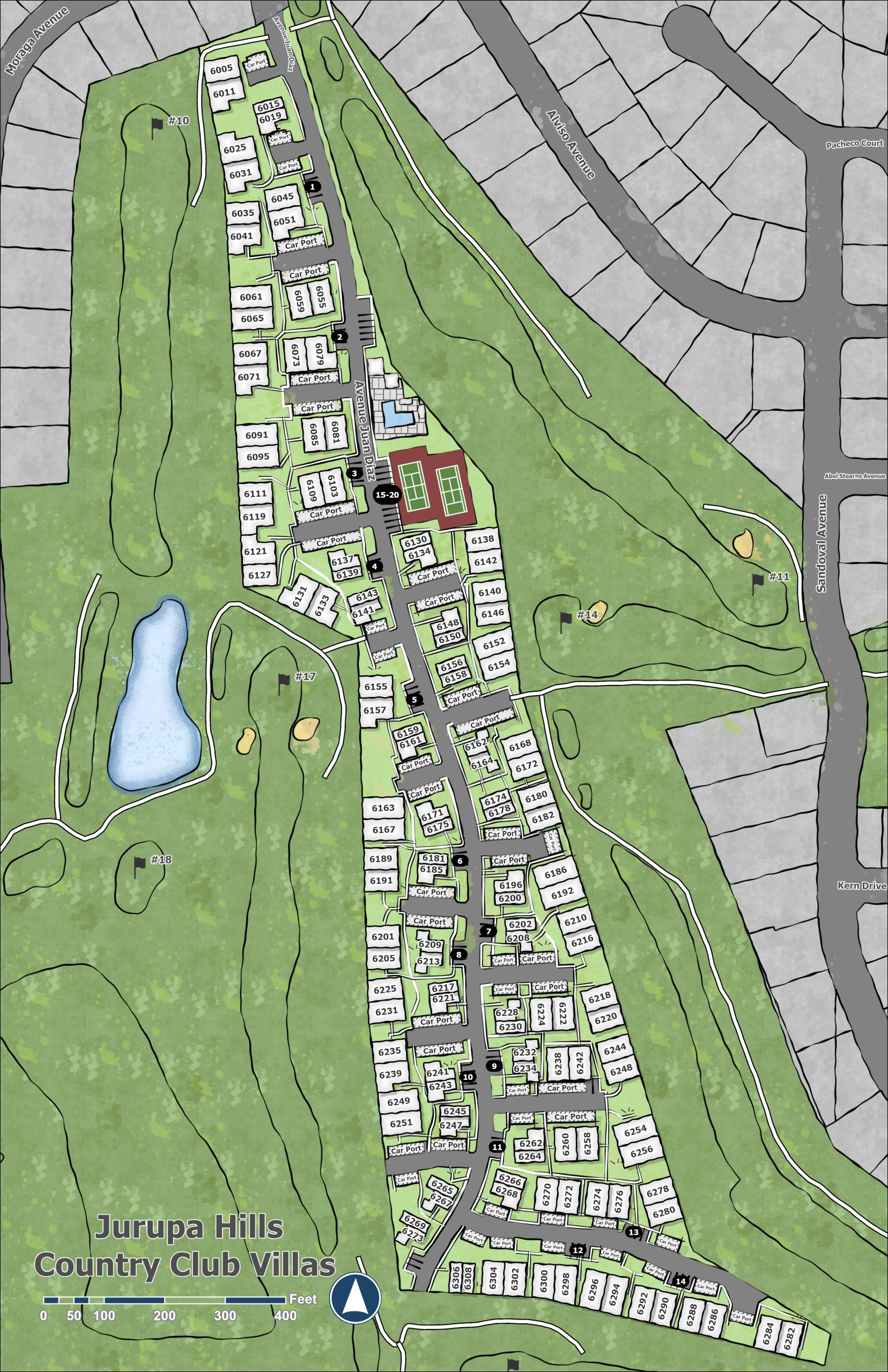
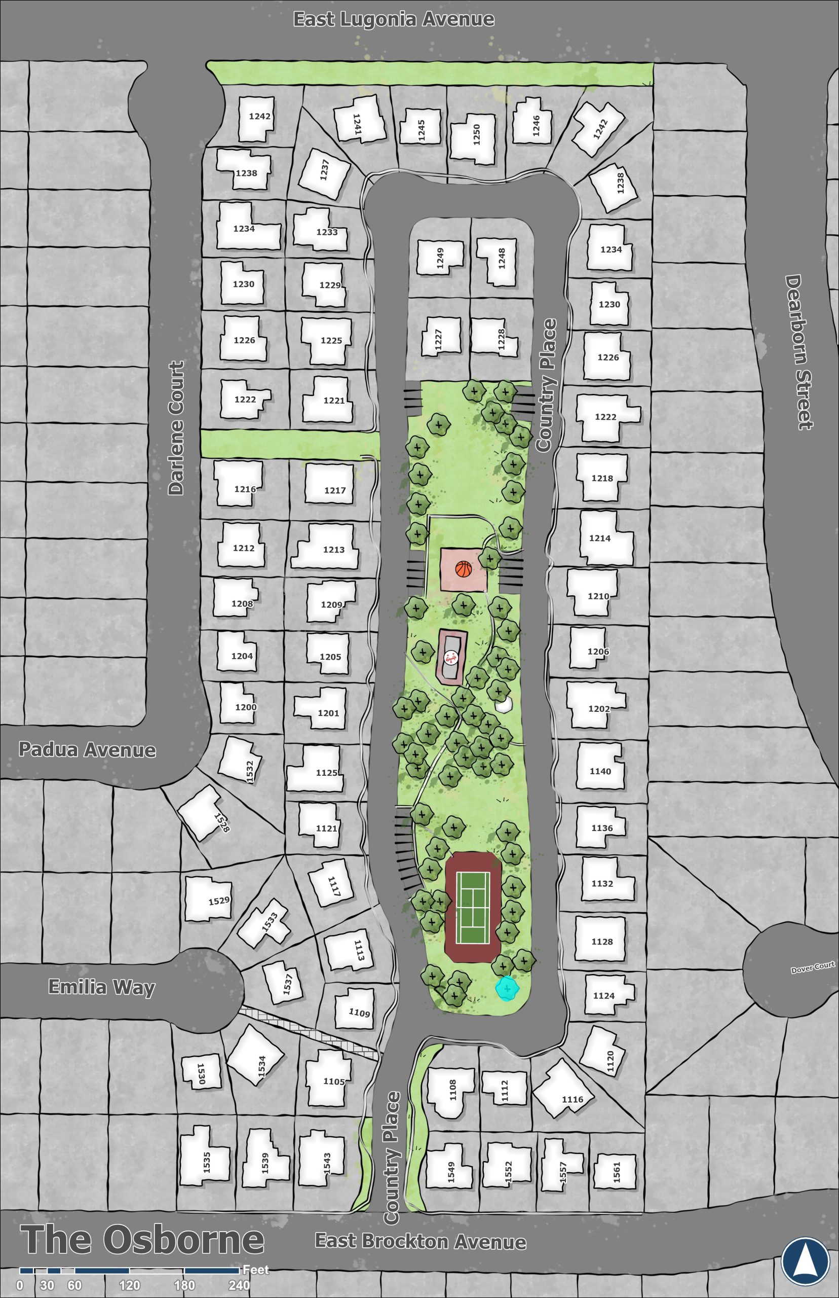
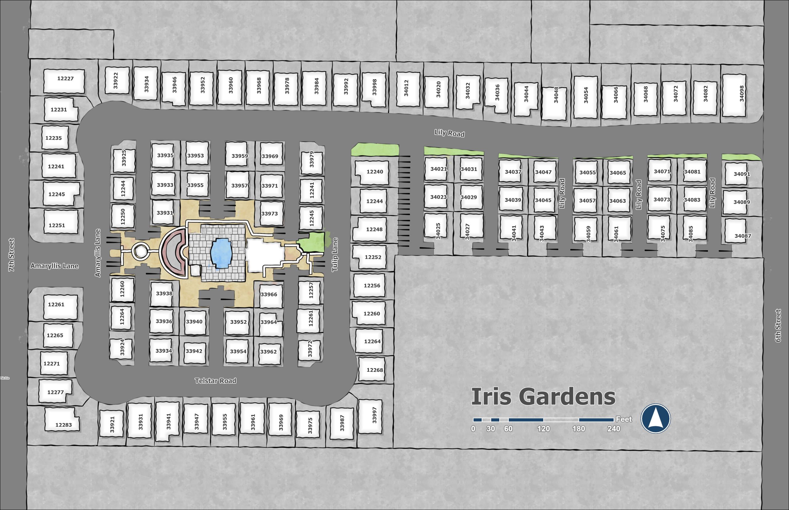
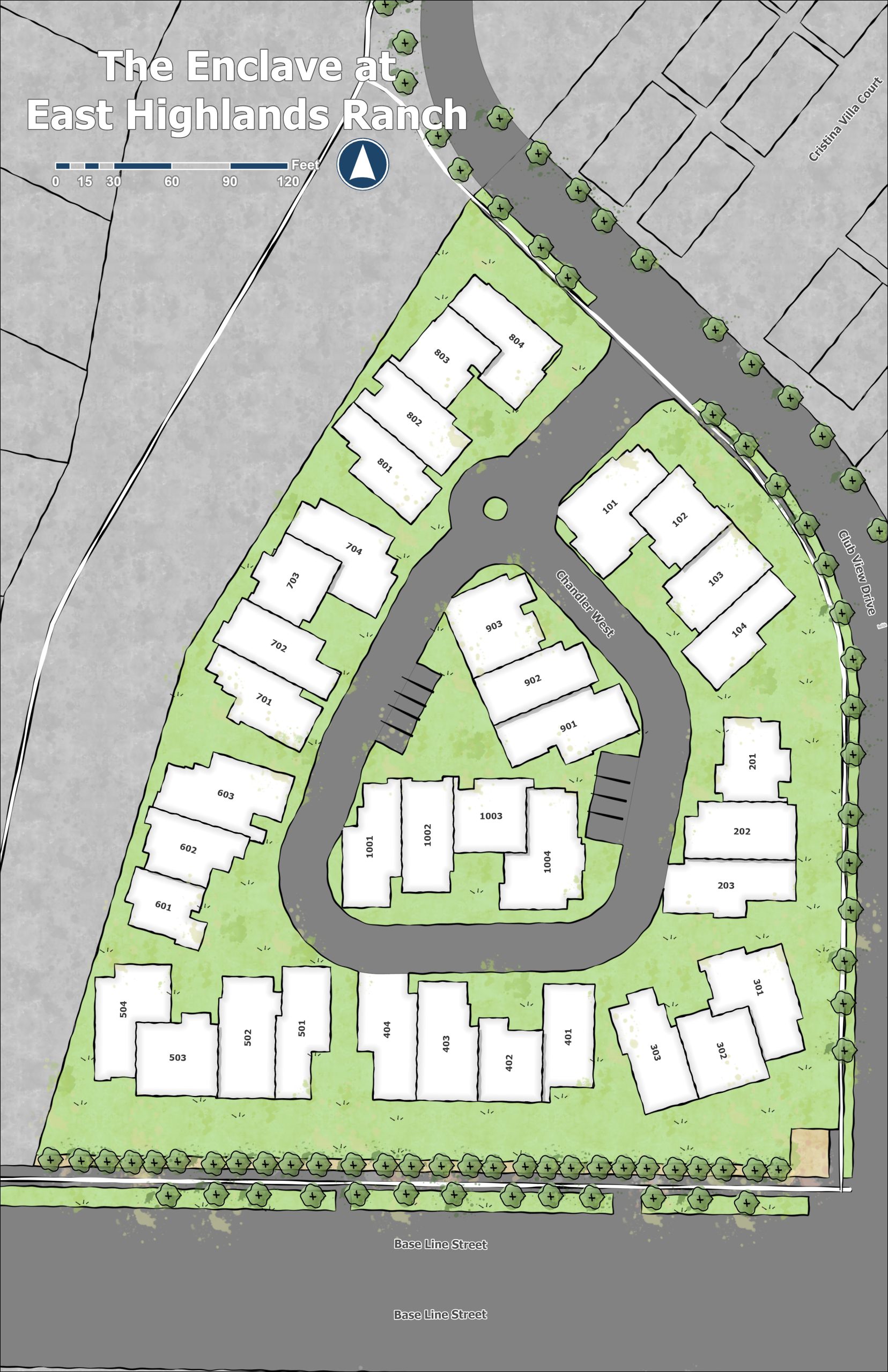
Now that we have your attention with the custom property map look. How is this done? It all starts with the data, and highlighting what is important to the property. The twist is making the finished product look top notch with custom design elements giving it that polished look.
Starting from current imagery sources we extract out the core data starting with the property boundaries and label with address # or lot information for locating units/buildings. Then adding in the building on top of the property. Next is the grounds, separating out the roads from the public or private spaces. Parking areas, Pools, Parks, Tennis Courts, Fields, Playgrounds, Walkways and even Trees. All combined they assemble the basics of the property.
You can display that information over high resolution imagery or render all of this information if it were hand drawn Giving it that custom high end look that is consumer and resident friendly. We think this clean custom version of a property map is amazing to look at. And we know you will like it as well for your next property map project.
Contact us for your next property map project.
Find out more about Using Property Maps here. Using Property Maps in Real Estate/Property Management